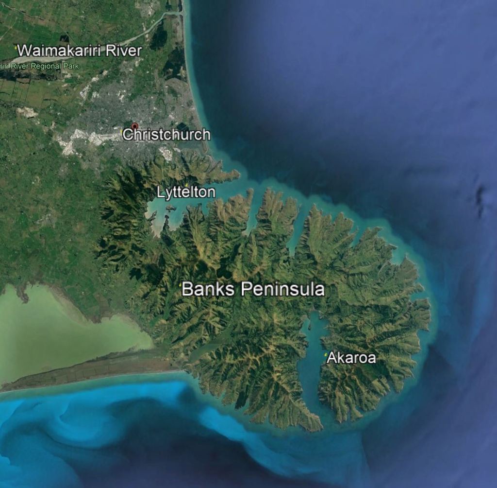
Christchurch lies on the Canterbury plain and the northern and western slopes of the Banks Peninsula. Lyttelton is the port town for Christchurch and is connected to the city by a tunnel under the port hills. Akaroa is the third area of interest in this general vicinity.
We spent the first week of our visit in Christchurch and Lyttelton, and then started our broader tour.
The Christchurch Gondola is located on a hilltop between Lyttelton and Christchurch. This image shows Christchurch from the Gondola looking north toward Waimakariri River. Pegasus Bay on the right is shallow and does not provide a useful port. A large part of the city lies behind the hills on the left.

Lyttelton lies to the south of the Gondola and, as this image shows, provides a large sheltered port.

Let’s take a look at Christchurch.
